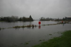
How levels are measured
Some 80 gauging stations are situated in rivers, however, the most frequently requested levels are for Lough Neagh and Lough Erne, which are published online. The levels are monitored on a daily basis.
Most measurements are taken by electronic sensors in the rivers and automatically transferred from the stations to Headquarters in Cookstown, to allow us to input the data into forecasting systems to estimate the flows in rivers.
What do we do with water levels?

River level is the depth of the water at the monitoring station and river flow measures the volume of water passing.
DfI Rivers also provides this data to
- DEARA Northern Ireland Environment Agency (NIEA) for water quality monitoring, i.e. discharge consents and pollution incidents
- NI Water: for water resources planning
- UK National River Flow Archive at Wallingford, England
Maintaining water levels
DfI Rivers aims to ensure that levels in Lough Neagh and Lough Erne are maintained within specific ranges, other than during periods when climatic conditions make this impossible.
As well as boating and sailing, the Loughs are also used by fishermen and for outdoor activities, so DfI Rivers works to ensure water levels, so far as reasonably practicable, are the right levels for users.
